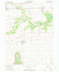
1968 Map of Oakwood
USGS Topo · Published 1969About this map
The Salt Fork river carves a winding path across the landscape of Vermilion County, defining the agricultural and industrial character of the region. Near the river's bend, Strip Mines and Camp Drake neighbor the settlement of Missionfield, while the Penn Central and Norfolk and Western railroads provide the primary east-west transport corridors for towns like Fairmount, Oakwood, Fithian, and Muncie.
Find a feature on this map
35 named features on this map. Tap any name to fly to it.
Don’t see what you’re looking for? This feature index may not catch every label — zoom into the map to look around manually.
Map Details
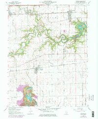
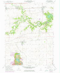
Editions of this 1968 Oakwood Map
3 editions found
Other maps of this area

1899 · Danville
USGS Topo · 1:62,500

1900 · Danville
USGS Topo · 1:62,500

1931 · Fithian
USGS Topo · 1:48,000

1943 · Fithian
USGS Topo · 1:62,500

1947 · Ridge Farm
USGS Topo · 1:62,500

1948 · Danville NW
USGS Topo · 1:24,000

1949 · Danville SW
USGS Topo · 1:24,000

1950 · Danville SW
USGS Topo · 1:24,000

1950 · Danville NW
USGS Topo · 1:24,000

1953 · Danville
USGS Topo · 1:250,000