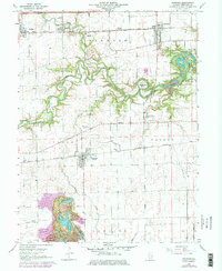
1968 Map of Oakwood
USGS Topo · Published 1978About this map
The Salt Fork winds through central Vermilion County in this detailed study of the Illinois prairie, carving a distinctive Horseshoe Bend south of Oakwood. The landscape is a transition between the established villages of Fithian, Muncie, and Fairmount and the developing outskirts evidenced by the Trailer Park and Catlett Landing Strip. Transportation networks are dominated by the Penn Central and Norfolk and Western railroads, which parallel the main east-west corridors. This 1968 field-checked record also identifies numerous rural burial grounds, such as Hickman Cem and Daugherty Cem, providing critical data for genealogists tracing local families in Oakwood, Vance, and Catlin townships. Significant revisions from 1977 highlight land-use changes around the river and the Camp Drake area.
Find a feature on this map
32 named features on this map. Tap any name to fly to it.
Don’t see what you’re looking for? This feature index may not catch every label — zoom into the map to look around manually.
Map Details
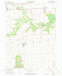
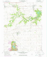
Editions of this 1968 Oakwood Map
3 editions found
Other maps of this area

1899 · Danville
USGS Topo · 1:62,500

1900 · Danville
USGS Topo · 1:62,500

1931 · Fithian
USGS Topo · 1:48,000

1943 · Fithian
USGS Topo · 1:62,500

1947 · Ridge Farm
USGS Topo · 1:62,500

1948 · Danville NW
USGS Topo · 1:24,000

1949 · Danville SW
USGS Topo · 1:24,000

1950 · Danville SW
USGS Topo · 1:24,000

1950 · Danville NW
USGS Topo · 1:24,000

1953 · Danville
USGS Topo · 1:250,000