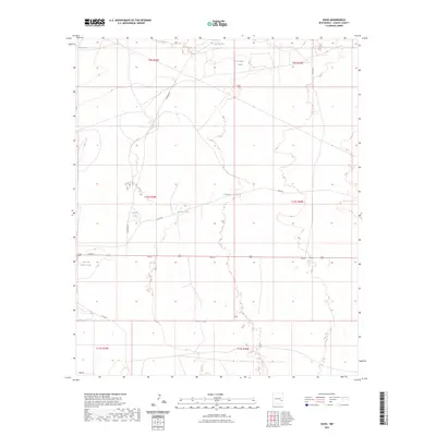
2023 Map of Oasis
USGS Topo · Published 2023About this map
Water management dominates the landscape of this Chaves County quadrangle, where a network of catchment systems supports life in the arid environment. Numerous named reservoirs, such as Claypit Tanks and the Red and White Tank, are distributed across the terrain, reflecting the vital infrastructure required for ranching and land use in this part of New Mexico. The geography is further defined by a sparse but essential grid of local thoroughfares, including Queando Rd, Cato Rd, and Co Rd 65, which connect these remote outposts. The map provides a contemporary record of these features, from Duncan Tank in the north to Crump Tanks in the south, illustrating how natural topographic depressions and man-made tanks work in concert to manage the region's limited water resources.
Find a feature on this map
21 named features on this map. Tap any name to fly to it.
Don’t see what you’re looking for? This feature index may not catch every label — zoom into the map to look around manually.
Map Details
Editions of this 2023 Oasis Map
This is the sole edition of this map. No revisions or reprints were ever made.
Other maps of this area

1949 · Sardine Mountain
USGS Topo · 1:24,000

1949 · Malstrom Ranch
USGS Topo · 1:24,000

1954 · Brownfield
USGS Topo · 1:250,000

1955 · Roswell
USGS Topo · 1:250,000

1958 · Brownfield
USGS Topo · 1:250,000

1958 · Roswell
USGS Topo · 1:250,000

1962 · Roswell
USGS Topo · 1:250,000

1962 · Brownfield
USGS Topo · 1:250,000
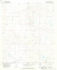
1967 · Sardine Lake
USGS Topo · 1:24,000

1973 · Culp Ranch
USGS Topo · 1:24,000