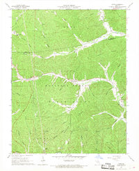
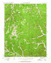
1967 Map of Oates
USGS Topo · Published 1968About this map
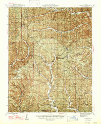
Oates sits at the heart of this landscape where the Iron and Reynolds County line cuts through the Clark National Forest. In the late 1960s, the region's topography is defined by narrow hollows and high ridges like Mack Ridge and Ironton Ridge. Industrial activity is marked by the Buick Mine in the northwest, which features a dedicated sewage disposal pond. The settlement pattern reflects deep-rooted community ties, evidenced by numerous family burial grounds including Stricklin, Asher, and Webb cemeteries. Water sources are abundant, from the Black River to smaller flows like Strother Creek and Brushy Creek. Notable landmarks include the Oates Lookout Tower and the Pleasant Union Church, while leisure areas like the Bell Mtn Vista Picnic Area and a Proposed Trail suggest a shift toward recreational forest use.
Find a feature on this map
48 named features on this map. Tap any name to fly to it.
Don’t see what you’re looking for? This feature index may not catch every label — zoom into the map to look around manually.
Map Details
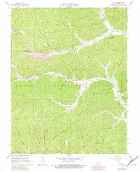
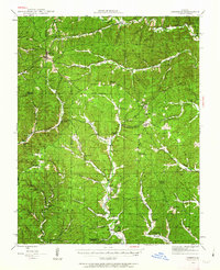
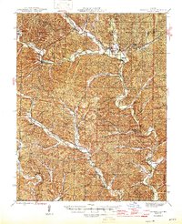
Editions of this 1967 Oates Map
2 editions found
Other maps of this area

1924 · Edgehill
USGS Topo · 1:62,500
1926 · Edgehill
USGS Topo · 1:62,500
1943 · Lesterville
USGS Topo · 1:62,500
1943 · Boss
USGS Topo · 1:62,500
1944 · Corridon
USGS Topo · 1:62,500
1946 · Lesterville
USGS Topo · 1:62,500
1946 · Boss
USGS Topo · 1:62,500
1947 · Corridon
USGS Topo · 1:62,500

1949 · Rolla
USGS Topo · 1:250,000

1953 · Rolla
USGS Topo · 1:250,000