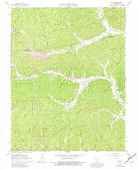
1967 Map of Oates
USGS Topo · Published 1981About this map
Oates sits at the heart of this Ozark landscape, where the Mark Twain National Forest blankets the ridges of Reynolds and Iron counties. The terrain is defined by a dense network of hollows and creeks, including Brushy Creek, Stroher Creek, and the Black River. This mid-century survey reveals a rural society structured around small settlements and family burial grounds, such as Smith Cem and Stricklin Cem. The presence of Mill Spring and the Sewage Disposal Pond indicates the intersection of traditional land use and developing infrastructure during this era. Genealogists can trace local ancestry through several distributed sites like Pleasant Union Ch and Webb Cem, while the industrial landscape is marked by a Tailings Pond and the county lines of Dent, Iron, and Reynolds.
Find a feature on this map
45 named features on this map. Tap any name to fly to it.
Don’t see what you’re looking for? This feature index may not catch every label — zoom into the map to look around manually.
Map Details
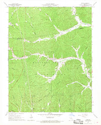
Editions of this 1967 Oates Map
2 editions found
Other maps of this area

1924 · Edgehill
USGS Topo · 1:62,500

1926 · Edgehill
USGS Topo · 1:62,500

1943 · Lesterville
USGS Topo · 1:62,500

1943 · Boss
USGS Topo · 1:62,500

1944 · Corridon
USGS Topo · 1:62,500

1946 · Lesterville
USGS Topo · 1:62,500

1946 · Boss
USGS Topo · 1:62,500

1947 · Corridon
USGS Topo · 1:62,500

1949 · Rolla
USGS Topo · 1:250,000

1953 · Rolla
USGS Topo · 1:250,000