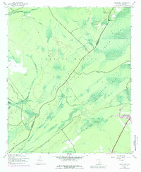
1943 Map of Ocean Bay
USGS Topo · Published 1989About this map
Francis Marion National Forest dominates this low-lying landscape along the border of Berkeley and Charleston counties. In the years following World War II, this region remained a complex network of wetlands and managed timberlands, defined by the expansive Wambaw Swamp and the namesake Ocean Bay. The presence of several Old Railroad Grades cutting through the swamps indicates the area's history of logging, where timber was once extracted from deep within the wetlands of Turkey Creek and Halfway Creek.
Find a feature on this map
26 named features on this map. Tap any name to fly to it.
Don’t see what you’re looking for? This feature index may not catch every label — zoom into the map to look around manually.
Map Details
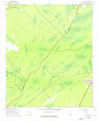
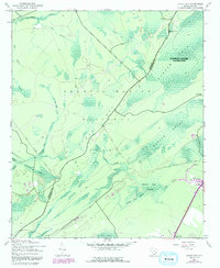
Editions of this 1943 Ocean Bay Map
4 editions found

Other maps of this area

1919 · Wando
USGS Topo · 1:21,120

1919 · Cordesville
USGS Topo · 1:48,000

1919 · Bulls Island
USGS Topo · 1:21,120

1919 · Sewee Bay
USGS Topo · 1:21,120

1942 · Honey Hill
USGS Topo · 1:24,000

1943 · Wando
USGS Topo · 1:24,000

1943 · Sewee Bay
USGS Topo · 1:24,000

1943 · Bulls Island
USGS Topo · 1:24,000

1943 · Shulerville
USGS Topo · 1:24,000

1943 · Awendaw
USGS Topo · 1:24,000