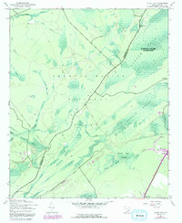
1943 Map of Ocean Bay
USGS Topo · Published 1992About this map
Francis Marion National Forest dominates this low-country landscape along the Berkeley and Charleston County line. The area is defined by an intricate network of wetlands, featuring Ocean Bay and the extensive Wambaw Swamp Wilderness. Unlike more developed coastal regions, this territory reflects a 1940s economy shaped by timber and water management, evidenced by the Old Railroad Grade and man-made features like the Withey Wood Canal. Small community anchors are visible at Ocean Grove Ch and the Halfway Creek Sch, marking pockets of local life within the expansive swampy terrain. The presence of Cromwell Dam Creek and Harleson Dam Creek suggests historic water control for agriculture or industry, while water bodies like Quimby Creek and Awendaw Creek provide the primary drainage for the surrounding basins.
Find a feature on this map
30 named features on this map. Tap any name to fly to it.
Don’t see what you’re looking for? This feature index may not catch every label — zoom into the map to look around manually.
Map Details
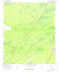
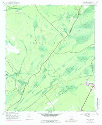
Editions of this 1943 Ocean Bay Map
4 editions found

Other maps of this area

1919 · Wando
USGS Topo · 1:21,120

1919 · Cordesville
USGS Topo · 1:48,000

1919 · Bulls Island
USGS Topo · 1:21,120

1919 · Sewee Bay
USGS Topo · 1:21,120

1942 · Honey Hill
USGS Topo · 1:24,000

1943 · Wando
USGS Topo · 1:24,000

1943 · Sewee Bay
USGS Topo · 1:24,000

1943 · Bulls Island
USGS Topo · 1:24,000

1943 · Shulerville
USGS Topo · 1:24,000

1943 · Awendaw
USGS Topo · 1:24,000