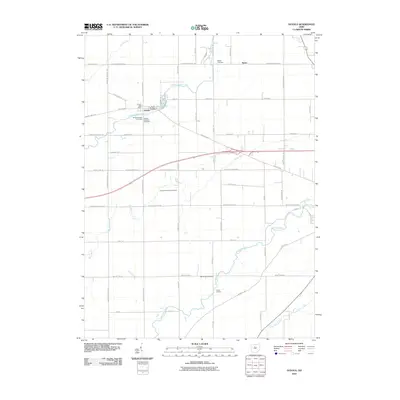
2010 Map of Oceola
USGS Topo · Published 2010About this map
Oceola stands as a central point of historical interest on this Crawford County landscape, where the Oceola Post Office and several numbered burial grounds, including Oceola Number 1, Number 2, and Number 3, mark the community's long-standing footprint. The terrain is defined by its waterway network, including the meandering Broken Sword Creek and the headwaters of the Sandusky River and Little Scioto River.
Find a feature on this map
53 named features on this map. Tap any name to fly to it.
Don’t see what you’re looking for? This feature index may not catch every label — zoom into the map to look around manually.
Map Details
Editions of this 2010 Oceola Map
This is the sole edition of this map. No revisions or reprints were ever made.
Other maps of this area

1903 · Marion
USGS Topo · 1:62,500

1905 · Marion
USGS Topo · 1:62,500

1906 · Sycamore
USGS Topo · 1:62,500

1913 · Mount Gilead
USGS Topo · 1:62,500

1915 · Bucyrus
USGS Topo · 1:62,500

1916 · Mount Gilead
USGS Topo · 1:62,500

1943 · Bucyrus
USGS Topo · 1:62,500

1943 · Mount Gilead
USGS Topo · 1:62,500

1950 · Marion
USGS Topo · 1:250,000

1960 · Sycamore
USGS Topo · 1:24,000