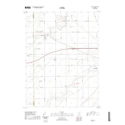
2019 Map of Oceola
USGS Topo · Published 2019About this map
Broken Sword Creek meanders through the heart of this agricultural landscape in northwestern Ohio, where the village of Oceola serves as a central point for local history. For genealogists and researchers, the area is notably dense with small burial grounds, including Oceola Number 1 Cem, Oceola Number 2 Cem, and Oceola Number 3 Cem, reflecting the early settlement patterns of the township.
Find a feature on this map
62 named features on this map. Tap any name to fly to it.
Don’t see what you’re looking for? This feature index may not catch every label — zoom into the map to look around manually.
Map Details
Editions of this 2019 Oceola Map
This is the sole edition of this map. No revisions or reprints were ever made.
Other maps of this area

1903 · Marion
USGS Topo · 1:62,500

1905 · Marion
USGS Topo · 1:62,500

1906 · Sycamore
USGS Topo · 1:62,500

1913 · Mount Gilead
USGS Topo · 1:62,500

1915 · Bucyrus
USGS Topo · 1:62,500

1916 · Mount Gilead
USGS Topo · 1:62,500

1943 · Bucyrus
USGS Topo · 1:62,500

1943 · Mount Gilead
USGS Topo · 1:62,500

1950 · Marion
USGS Topo · 1:250,000

1960 · Sycamore
USGS Topo · 1:24,000