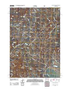
2011 Map of Ochoco Butte
USGS Topo · Published 2011About this map
Walton Lake and its accompanying Walton Lake Campground serve as central landmarks in this high-elevation forest landscape during the early 21st century. The map details a complex network of forest routes and service roads, including Summit Rd and Old Ochoco Hwy, which connect remote outposts such as Scissorsville and Carroll Glade. This region is characterized by significant topographic relief, anchored by volcanic features like Ochoco Butte and Round Mountain.
Find a feature on this map
58 named features on this map. Tap any name to fly to it.
Don’t see what you’re looking for? This feature index may not catch every label — zoom into the map to look around manually.
Map Details
Editions of this 2011 Ochoco Butte Map
This is the sole edition of this map. No revisions or reprints were ever made.
Other maps of this area

1926 · Mitchell
USGS Topo · 1:125,000

1951 · Lookout Mtn
USGS Topo · 1:62,500

1955 · Bend
USGS Topo · 1:250,000

1957 · Bend
USGS Topo · 1:250,000

1958 · Bend
USGS Topo · 1:250,000

1965 · Williams Prairie
USGS Topo · 1:24,000

1966 · Mt. Pisgah
USGS Topo · 1:24,000

1966 · Mitchell
USGS Topo · 1:62,500

1968 · Lawson Mtn
USGS Topo · 1:24,000

1968 · Stephenson Mtn
USGS Topo · 1:24,000