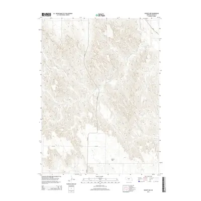
2014 Map of Oconto NW
USGS Topo · Published 2014About this map
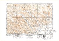
Redfern Table dominates the southern portion of this landscape, representing a significant plateau in Custer County. The area is defined by a dense network of drainage systems, including the upper reaches of Wood River and the winding Cottonwood Creek. These watercourses carve through the terrain, illustrating the intricate erosion patterns of the Nebraska sandhills region. Transport through this sparsely populated territory relies on Cozad Rd, which bisects the quadrangle from north to south, and Ne-40 in the northeast corner. Aside from these primary thoroughfares, the map shows a landscape of subtle topographic shifts and small tributaries like Spring Creek, providing a detailed look at the rural geographic structure prior to significant modern development in this section of the Great Plains.
Find a feature on this map
6 named features on this map. Tap any name to fly to it.
Don’t see what you’re looking for? This feature index may not catch every label — zoom into the map to look around manually.
Map Details
Editions of this 2014 Oconto NW Map
This is the sole edition of this map. No revisions or reprints were ever made.
Other maps of this area
1951 · Callaway SE
USGS Topo · 1:24,000
1951 · Callaway
USGS Topo · 1:24,000
1951 · Oconto SW
USGS Topo · 1:24,000
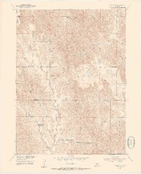
1951 · Oconto SE
USGS Topo · 1:24,000
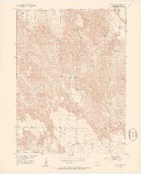
1951 · Oconto NW
USGS Topo · 1:24,000
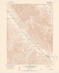
1951 · Oconto
USGS Topo · 1:24,000

1954 · North Platte
USGS Topo · 1:250,000
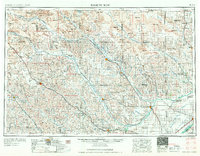
1955 · Broken Bow
USGS Topo · 1:250,000
1956 · Broken Bow
USGS Topo · 1:250,000

1956 · North Platte
USGS Topo · 1:250,000