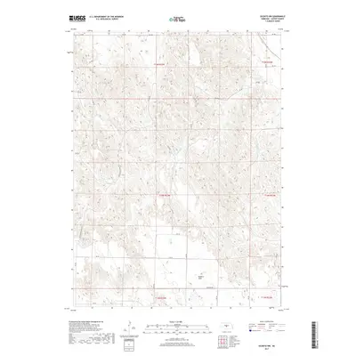
2017 Map of Oconto NW
USGS Topo · Published 2017About this map
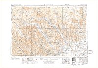
Redfern Table dominates the southern reaches of this Custer County landscape, a prominent plateau rising above the surrounding drainage networks. The hydrological character of the region is defined by the winding paths of Cottonwood Cr in the west and the Wood River in the east, which together carve the intricate topography of the Nebraska plains. This 2017 survey by the U.S. Geological Survey illustrates a highly organized rural grid, where local travel is facilitated by a dense system of roads including Cozad Rd and Redfern Rd. The map provides a precise view of the Public Land Survey System divisions, such as t14n r23w, reflecting the enduring settlement patterns and land management practices of the central Nebraska loess hills.
Find a feature on this map
29 named features on this map. Tap any name to fly to it.
Don’t see what you’re looking for? This feature index may not catch every label — zoom into the map to look around manually.
Map Details
Editions of this 2017 Oconto NW Map
This is the sole edition of this map. No revisions or reprints were ever made.
Other maps of this area
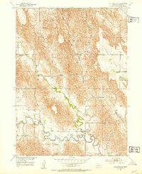
1951 · Callaway SE
USGS Topo · 1:24,000
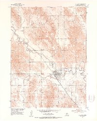
1951 · Callaway
USGS Topo · 1:24,000
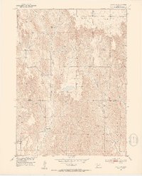
1951 · Oconto SW
USGS Topo · 1:24,000
1951 · Oconto SE
USGS Topo · 1:24,000
1951 · Oconto NW
USGS Topo · 1:24,000
1951 · Oconto
USGS Topo · 1:24,000

1954 · North Platte
USGS Topo · 1:250,000
1955 · Broken Bow
USGS Topo · 1:250,000
1956 · Broken Bow
USGS Topo · 1:250,000

1956 · North Platte
USGS Topo · 1:250,000