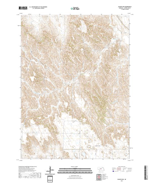
2021 Map of Oconto NW
USGS Topo · Published 2021About this map
Redfern Table dominates the southern landscape of this Custer County quadrangle, where the high plains terrain breaks into a complex network of drainages. The Wood River flows through the eastern sections, while Cottonwood Cr and Spring Cr carve through the center and west. This 2021 survey illustrates a contemporary rural landscape defined by the Public Land Survey System, with a systematic grid of roads such as Cozad Rd and Cottonwood Creek Rd providing access to the upland plateaus. The placement of Redfern Rd along the southern flank of the table land demonstrates how modern infrastructure continues to navigate the ancestral landforms of central Nebraska, maintaining a sparse but organized agricultural footprint.
Find a feature on this map
29 named features on this map. Tap any name to fly to it.
Don’t see what you’re looking for? This feature index may not catch every label — zoom into the map to look around manually.
Map Details
Editions of this 2021 Oconto NW Map
This is the sole edition of this map. No revisions or reprints were ever made.
Other maps of this area

1951 · Callaway SE
USGS Topo · 1:24,000

1951 · Callaway
USGS Topo · 1:24,000

1951 · Oconto SW
USGS Topo · 1:24,000

1951 · Oconto SE
USGS Topo · 1:24,000

1951 · Oconto NW
USGS Topo · 1:24,000

1951 · Oconto
USGS Topo · 1:24,000

1954 · North Platte
USGS Topo · 1:250,000

1955 · Broken Bow
USGS Topo · 1:250,000

1956 · Broken Bow
USGS Topo · 1:250,000

1956 · North Platte
USGS Topo · 1:250,000