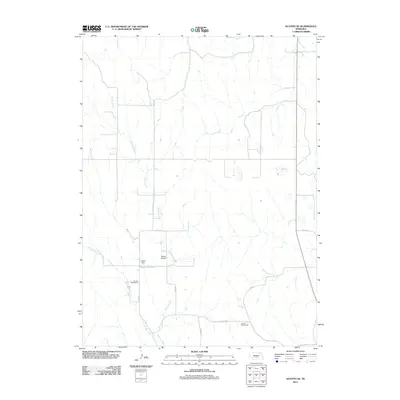
2011 Map of Oconto SE
USGS Topo · Published 2011About this map
Buffalo Creek and East Buffalo Creek carve their paths through this Dawson County landscape, where the local topography is defined by the drainage patterns of these winding waterways. The man-made addition of Neben Reservoir, secured by Neben Dam, stands as a primary landmark in the southern half of the quadrangle. This 2011 survey captures a quiet, rural portion of Nebraska dominated by large agricultural parcels and a geometric network of county routes, such as Road 774 and Buffalo Rd. Traces of the region's educational history are preserved in the locations of School Number 61 and School Number 94, while the Neben Airport indicates the infrastructure supporting this expansive Nebraska countryside. The map reveals how water management and local transportation corridors have structured the settlement pattern in this specific corner of the state.
Find a feature on this map
14 named features on this map. Tap any name to fly to it.
Don’t see what you’re looking for? This feature index may not catch every label — zoom into the map to look around manually.
Map Details
Editions of this 2011 Oconto SE Map
This is the sole edition of this map. No revisions or reprints were ever made.
Other maps of this area

1896 · Lexington
USGS Topo · 1:125,000

1899 · Lexington
USGS Topo · 1:125,000

1951 · Oconto SW
USGS Topo · 1:24,000

1951 · Eddyville NW
USGS Topo · 1:24,000

1951 · Oconto SE
USGS Topo · 1:24,000

1951 · Eddyville SW
USGS Topo · 1:24,000

1951 · Oconto NW
USGS Topo · 1:24,000

1951 · Oconto
USGS Topo · 1:24,000

1955 · Broken Bow
USGS Topo · 1:250,000

1955 · Grand Island
USGS Topo · 1:250,000