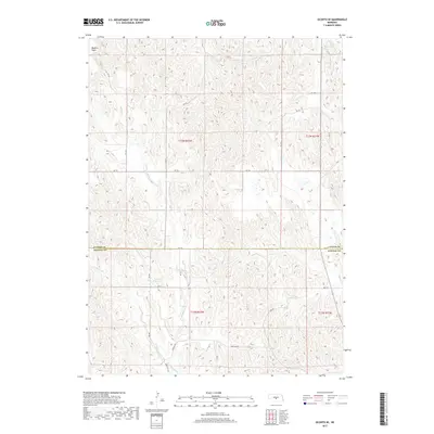
2017 Map of Oconto SE
USGS Topo · Published 2017About this map
Redfern Table dominates the northwestern corner of this landscape, marking a prominent high point in the dissected plains of central Nebraska. This area, straddling the boundary between Custer and Dawson counties, is defined by an intricate network of drainages feeding into the Platte River system. The hydrology is centered on the various branches of Buffalo Cr, including E Buffalo Cr and W Buffalo Cr, which carve through the loess hills. The artificial Nelsen Reservoir provides a critical water source in this semi-arid agricultural region. The map reveals a highly structured section-line road network, such as Rd 776 and Buffalo Rd, reflecting the enduring impact of the Public Land Survey System on the Nebraska prairie, where every mile is precisely gridded for ranching and farming operations.
Find a feature on this map
27 named features on this map. Tap any name to fly to it.
Don’t see what you’re looking for? This feature index may not catch every label — zoom into the map to look around manually.
Map Details
Editions of this 2017 Oconto SE Map
This is the sole edition of this map. No revisions or reprints were ever made.
Other maps of this area
1896 · Lexington
USGS Topo · 1:125,000
1899 · Lexington
USGS Topo · 1:125,000
1951 · Oconto SW
USGS Topo · 1:24,000
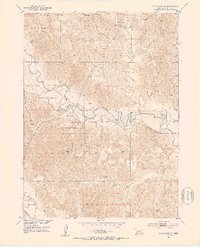
1951 · Eddyville NW
USGS Topo · 1:24,000
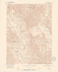
1951 · Oconto SE
USGS Topo · 1:24,000
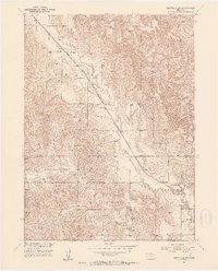
1951 · Eddyville SW
USGS Topo · 1:24,000
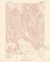
1951 · Oconto NW
USGS Topo · 1:24,000
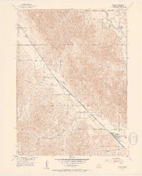
1951 · Oconto
USGS Topo · 1:24,000
1955 · Broken Bow
USGS Topo · 1:250,000
1955 · Grand Island
USGS Topo · 1:250,000