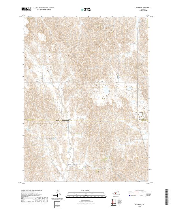
2021 Map of Oconto SE
USGS Topo · Published 2021About this map
Buffalo Cr carves through the undulating Loess Hills of central Nebraska, defining the topography of this rural landscape where the Custer Co Dawson Co line marks the southern boundary of the quadrangle. The map captures a transition in water management and land use, centered around the Nelsen Reservoir and the headwaters of E Buffalo Cr. This area is characterized by an intricate network of section-line roads and named drives, including Buffalo Rd and Mm Rd, which facilitate access to the expansive agricultural tracts and high plateaus like Redfern Table. The dense contour lines illustrate the highly dissected drainage patterns typical of this portion of the Great Plains, where natural waterways and human-made improvements work in concert to support the region's ranching and farming operations.
Find a feature on this map
25 named features on this map. Tap any name to fly to it.
Don’t see what you’re looking for? This feature index may not catch every label — zoom into the map to look around manually.
Map Details
Editions of this 2021 Oconto SE Map
This is the sole edition of this map. No revisions or reprints were ever made.
Other maps of this area

1896 · Lexington
USGS Topo · 1:125,000

1899 · Lexington
USGS Topo · 1:125,000

1951 · Oconto SW
USGS Topo · 1:24,000

1951 · Eddyville NW
USGS Topo · 1:24,000

1951 · Oconto SE
USGS Topo · 1:24,000

1951 · Eddyville SW
USGS Topo · 1:24,000

1951 · Oconto NW
USGS Topo · 1:24,000

1951 · Oconto
USGS Topo · 1:24,000

1955 · Broken Bow
USGS Topo · 1:250,000

1955 · Grand Island
USGS Topo · 1:250,000