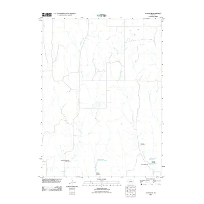
2011 Map of Oconto SW
USGS Topo · Published 2011About this map
Spring Creek and West Buffalo Creek define the drainage patterns across this section of Dawson County. The landscape is characterized by a series of water management projects, most notably the School Land Reservoir Number 4 and the associated School Land Dam Number 4. These structures, alongside Floodwater Retarding Dam 11-A, illustrate the significant hydraulic engineering efforts required to manage seasonal flow and support agriculture in the Nebraska plains.
Find a feature on this map
15 named features on this map. Tap any name to fly to it.
Don’t see what you’re looking for? This feature index may not catch every label — zoom into the map to look around manually.
Map Details
Editions of this 2011 Oconto SW Map
This is the sole edition of this map. No revisions or reprints were ever made.
Other maps of this area

1896 · Lexington
USGS Topo · 1:125,000

1899 · Lexington
USGS Topo · 1:125,000

1902 · Gothenburg
USGS Topo · 1:125,000

1951 · Oconto SW
USGS Topo · 1:24,000

1951 · Oconto SE
USGS Topo · 1:24,000

1951 · Oconto NW
USGS Topo · 1:24,000

1951 · Oconto
USGS Topo · 1:24,000

1954 · McCook
USGS Topo · 1:250,000

1954 · North Platte
USGS Topo · 1:250,000

1955 · Broken Bow
USGS Topo · 1:250,000