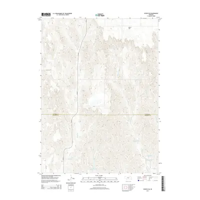
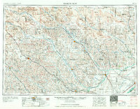
2014 Map of Oconto SW
USGS Topo · Published 2014About this map
The high plateau of Redfern Table dominates the northern landscape of this Dawson and Custer County borderland. This area is characterized by an extensive network of water management features, including the School Land Reservoir Number 4 and a cluster of basins in the southeast such as Lemmer North Reservoir, Lemmer East Reservoir, and Lemmer South Reservoir. The land is dissected by the drainage systems of Spring Cr and the west and east branches of W Buffalo Cr. The map's road network, including Cozad Rd and Roten Valley Rd, follows the section lines and natural contours of the undulating plains. This 2014 survey documents the modern agricultural and hydrological layout of the Nebraska sandhills region, where managed reservoirs like Spring Cr Reservoir 11-A are essential to the rural economy.
Find a feature on this map
15 named features on this map. Tap any name to fly to it.
Don’t see what you’re looking for? This feature index may not catch every label — zoom into the map to look around manually.
Map Details
Editions of this 2014 Oconto SW Map
This is the sole edition of this map. No revisions or reprints were ever made.
Other maps of this area
1896 · Lexington
USGS Topo · 1:125,000
1899 · Lexington
USGS Topo · 1:125,000
1902 · Gothenburg
USGS Topo · 1:125,000
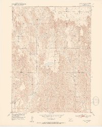
1951 · Oconto SW
USGS Topo · 1:24,000
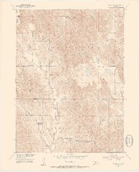
1951 · Oconto SE
USGS Topo · 1:24,000
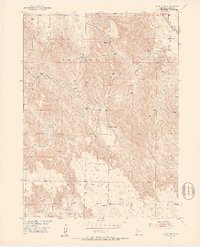
1951 · Oconto NW
USGS Topo · 1:24,000
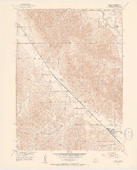
1951 · Oconto
USGS Topo · 1:24,000

1954 · McCook
USGS Topo · 1:250,000

1954 · North Platte
USGS Topo · 1:250,000
1955 · Broken Bow
USGS Topo · 1:250,000