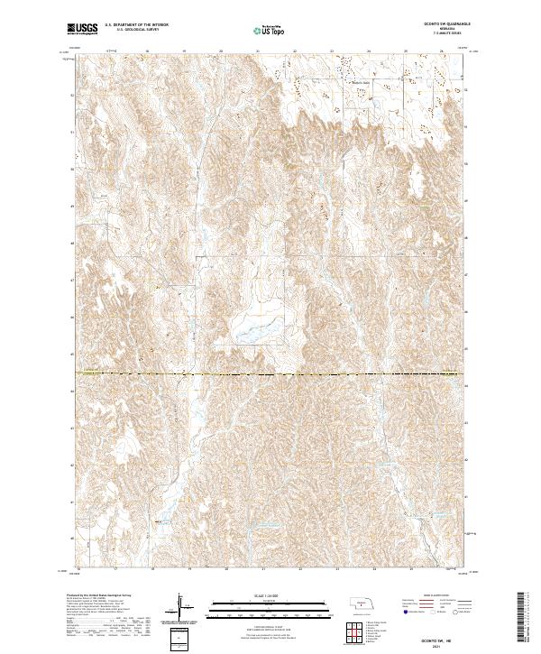
2021 Map of Oconto SW
USGS Topo · Published 2021About this map
Redfern Table dominates the northern reaches of this landscape, where the plateau surface gives way to a network of drainages feeding into the Platte River valley. The terrain is defined by the headwaters of several streams, including Spring Cr and the west and east branches of W Buffalo Cr. Human modification of the arid environment is evident through a series of specialized water management features, such as Spring Cr Reservoir 11-A and the curiously named School Land Reservoir Number 4. The boundary between Custer and Dawson counties bisects the quadrangle, highlighting a rural infrastructure of section-line roads like Cozad Rd and Rd 779. This area, primarily used for ranching and agriculture, features a clustered system of reservoirs including Lemmer North Reservoir and Lemmer South Reservoir that supported local land use in the early twenty-first century.
Find a feature on this map
26 named features on this map. Tap any name to fly to it.
Don’t see what you’re looking for? This feature index may not catch every label — zoom into the map to look around manually.
Map Details
Editions of this 2021 Oconto SW Map
This is the sole edition of this map. No revisions or reprints were ever made.
Other maps of this area

1896 · Lexington
USGS Topo · 1:125,000

1899 · Lexington
USGS Topo · 1:125,000

1902 · Gothenburg
USGS Topo · 1:125,000

1951 · Oconto SW
USGS Topo · 1:24,000

1951 · Oconto SE
USGS Topo · 1:24,000

1951 · Oconto NW
USGS Topo · 1:24,000

1951 · Oconto
USGS Topo · 1:24,000

1954 · McCook
USGS Topo · 1:250,000

1954 · North Platte
USGS Topo · 1:250,000

1955 · Broken Bow
USGS Topo · 1:250,000