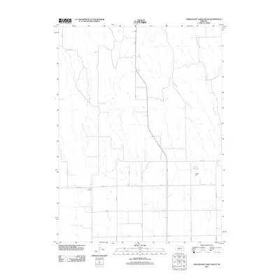
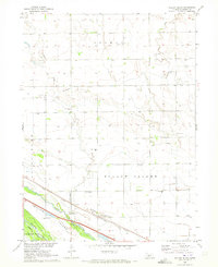
2011 Map of Odencranze Table South
USGS Topo · Published 2011About this map
Linburg Cemetery serves as a quiet historical anchor in this portion of Lincoln County, situated at the junction of Fairview Rd and Road 408. The landscape is defined by the high, flat plains characteristic of the Nebraska tablelands, where the rectangular grid of the Public Land Survey System dictates the movement of travel along routes like S Sveadal Rd and Table Rd.
Find a feature on this map
18 named features on this map. Tap any name to fly to it.
Don’t see what you’re looking for? This feature index may not catch every label — zoom into the map to look around manually.
Map Details
Editions of this 2011 Odencranze Table South Map
This is the sole edition of this map. No revisions or reprints were ever made.
Other maps of this area
1902 · Gothenburg
USGS Topo · 1:125,000

1954 · McCook
USGS Topo · 1:250,000

1954 · North Platte
USGS Topo · 1:250,000

1956 · North Platte
USGS Topo · 1:250,000

1957 · North Platte
USGS Topo · 1:250,000

1957 · McCook
USGS Topo · 1:250,000

1958 · McCook
USGS Topo · 1:250,000
1967 · North Platte
USGS Topo · 1:250,000
1970 · Gothenburg
USGS Topo · 1:24,000
1970 · Willow Island
USGS Topo · 1:24,000