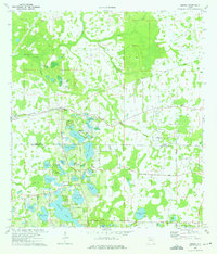
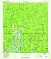
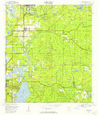
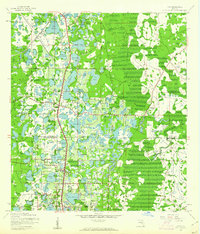
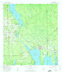
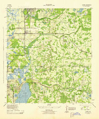
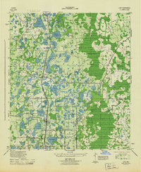
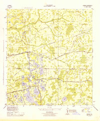
1974 Map of Odessa
USGS Topo · Published 1975About this map
Odessa stands at the center of this 1970s landscape, positioned where the Seaboard Coast Line Railroad and the Old Grade meet. This region, straddling the Pasco Co and Hillsborough Co line, is defined by a dense network of freshwater lakes, including Keystone Lake, Island Ford Lake, and Lake Alice. The presence of Indian Mounds near Mound Lake and the Odessa Ch reflects a long history of habitation along the Anclote River and Brooker Creek drainage basins.
Find a feature on this map
52 named features on this map. Tap any name to fly to it.
Don’t see what you’re looking for? This feature index may not catch every label — zoom into the map to look around manually.
Map Details
Editions of this 1974 Odessa Map
4 editions found
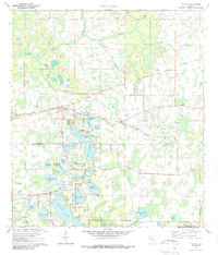
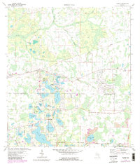
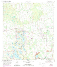
Other maps of this area
1943 · Odessa
USGS Topo · 1:24,000
1943 · Elfers
USGS Topo · 1:24,000
1943 · Lutz
USGS Topo · 1:24,000
1943 · Oldsmar
USGS Topo · 1:24,000

1944 · Sulphur Springs
USGS Topo · 1:31,680
1944 · Elfers
USGS Topo · 1:31,680
1944 · Lutz
USGS Topo · 1:31,680

1944 · Oldsmar
USGS Topo · 1:31,680
1944 · Odessa
USGS Topo · 1:31,680

1945 · Sulphur Springs
USGS Topo · 1:31,680