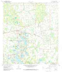
1974 Map of Odessa
USGS Topo · Published 1986About this map
Odessa serves as the focal point of this mid-1970s landscape, situated along the Seaboard Coast Line railroad near the border of Pasco and Hillsborough counties. The terrain is defined by a complex network of wetlands and namesake water bodies such as Lake Hiawatha, Island Ford Lake, and the sprawling Keystone Lake. Cultural landmarks reflect the era’s community life, including Camp Keystone, Camp Singing Pines, and the West Pasco Airpark to the west. A notable historical depth is provided by the presence of Indian Mounds located south of Mound Lake. Evidence of earlier transport infrastructure is visible in the form of a labeled Grade and Old Railroad Grade, while the northern reaches are dominated by the Anclote River and its various tributaries like South Branch and Sandy Branch.
Find a feature on this map
50 named features on this map. Tap any name to fly to it.
Don’t see what you’re looking for? This feature index may not catch every label — zoom into the map to look around manually.
Map Details
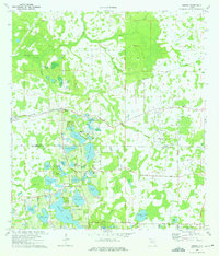
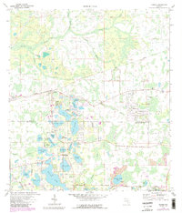
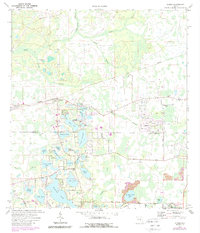
Editions of this 1974 Odessa Map
4 editions found
Other maps of this area

1943 · Odessa
USGS Topo · 1:24,000

1943 · Elfers
USGS Topo · 1:24,000

1943 · Lutz
USGS Topo · 1:24,000

1943 · Oldsmar
USGS Topo · 1:24,000

1944 · Sulphur Springs
USGS Topo · 1:31,680

1944 · Elfers
USGS Topo · 1:31,680

1944 · Lutz
USGS Topo · 1:31,680

1944 · Oldsmar
USGS Topo · 1:31,680

1944 · Odessa
USGS Topo · 1:31,680

1945 · Sulphur Springs
USGS Topo · 1:31,680