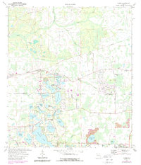
1974 Map of Odessa
USGS Topo · Published 1988About this map
The unincorporated settlement of Odessa and the surrounding lake country of West Central Florida are captured during a period of transition in the 1970s and 1980s. The landscape is defined by an intricate network of cypress strands and freshwater basins, including Keystone Lake, Mound Lake, and Lake Geneva. Ancient cultural markers like the Indian Mounds near Lake Calm persist alongside modern developments such as the West Pasco Airpark and Sierra Pines. Transportation history is visible through the Old Grade Railroad, which traces a path through the northern woods near the Anclote River. This map highlights several community hubs like Camp Keystone and Camp Singing Pines, reflecting the region's mid-century role as a retreat for youth organizations. The border between Pasco Co and Hillsborough Co bisects this lake-strewn area, showing the residential expansion encroaching on traditional citrus and ranch lands.
Find a feature on this map
49 named features on this map. Tap any name to fly to it.
Don’t see what you’re looking for? This feature index may not catch every label — zoom into the map to look around manually.
Map Details
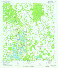
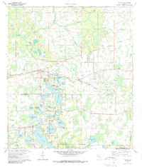
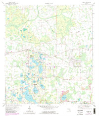
Editions of this 1974 Odessa Map
4 editions found
Other maps of this area

1943 · Odessa
USGS Topo · 1:24,000

1943 · Elfers
USGS Topo · 1:24,000

1943 · Lutz
USGS Topo · 1:24,000

1943 · Oldsmar
USGS Topo · 1:24,000

1944 · Sulphur Springs
USGS Topo · 1:31,680

1944 · Elfers
USGS Topo · 1:31,680

1944 · Lutz
USGS Topo · 1:31,680

1944 · Oldsmar
USGS Topo · 1:31,680

1944 · Odessa
USGS Topo · 1:31,680

1945 · Sulphur Springs
USGS Topo · 1:31,680