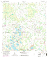
1974 Map of Odessa
USGS Topo · Published 1988About this map
Odessa and the neighboring community of Keystone serve as the primary anchors for this mid-1970s survey of the lake-dotted border between Pasco and Hillsborough counties. The landscape is defined by an intricate network of freshwater bodies, ranging from the large Keystone Lake and Lake Calm to smaller features like Lake Artillery and Mound Lake. Cultural landmarks of the era are well-represented, including Odessa Ch, Keystone Ch, and organized youth sites such as Camp Keystone and Camp Singing Pines.
Find a feature on this map
50 named features on this map. Tap any name to fly to it.
Don’t see what you’re looking for? This feature index may not catch every label — zoom into the map to look around manually.
Map Details
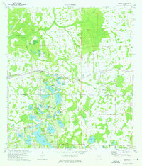
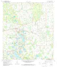
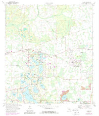
Editions of this 1974 Odessa Map
4 editions found
Other maps of this area

1943 · Odessa
USGS Topo · 1:24,000

1943 · Elfers
USGS Topo · 1:24,000

1943 · Lutz
USGS Topo · 1:24,000

1943 · Oldsmar
USGS Topo · 1:24,000

1944 · Sulphur Springs
USGS Topo · 1:31,680

1944 · Elfers
USGS Topo · 1:31,680

1944 · Lutz
USGS Topo · 1:31,680

1944 · Oldsmar
USGS Topo · 1:31,680

1944 · Odessa
USGS Topo · 1:31,680

1945 · Sulphur Springs
USGS Topo · 1:31,680