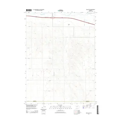
2014 Map of Ogallala SE
USGS Topo · Published 2014About this map
The South Platte River winds through the northern edge of this Nebraska landscape, defining the transition between the river valley and the rising upland plains to the south. In this 2014 survey, the geography is characterized by a strict section-line grid of rural corridors like Road E 80 and Road E 40, which cut across the varied topography of Roscoe Draw. The northern section is dominated by the corridor of Interstate 80 and the W Roscoe Service Rd, while the southern reaches cross the boundary between Keith Co and Perkins Co. A notable local landmark is Road E High School, serving as a navigational anchor in this expanse of agricultural territory. The presence of the NE-51B-Link and numerous numbered county roads illustrates the modern infrastructure supporting the region's ranching and farming operations.
Find a feature on this map
19 named features on this map. Tap any name to fly to it.
Don’t see what you’re looking for? This feature index may not catch every label — zoom into the map to look around manually.
Map Details
Editions of this 2014 Ogallala SE Map
This is the sole edition of this map. No revisions or reprints were ever made.
Other maps of this area
1897 · Ogallala
USGS Topo · 1:125,000
1898 · Paxton
USGS Topo · 1:125,000
1900 · Ogallala
USGS Topo · 1:125,000
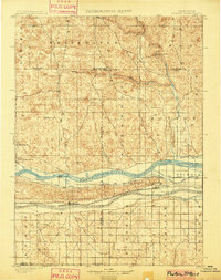
1901 · Paxton
USGS Topo · 1:125,000

1954 · McCook
USGS Topo · 1:250,000

1954 · North Platte
USGS Topo · 1:250,000

1956 · North Platte
USGS Topo · 1:250,000

1957 · North Platte
USGS Topo · 1:250,000

1957 · McCook
USGS Topo · 1:250,000

1958 · McCook
USGS Topo · 1:250,000