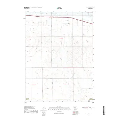
2017 Map of Ogallala SE
USGS Topo · Published 2017About this map
The South Platte River cuts across the northern edge of this landscape, anchoring a corridor defined by the Roscoe Svc Rd and the interstate. This riverine border provides a sharp contrast to the high, dissected tablelands that dominate the southern portion of the quadrangle. The terrain is deeply carved by Roscoe Draw, creating a complex network of ridges and drainages that shaped the local grazing and agricultural patterns of southern Keith Co.
Find a feature on this map
24 named features on this map. Tap any name to fly to it.
Don’t see what you’re looking for? This feature index may not catch every label — zoom into the map to look around manually.
Map Details
Editions of this 2017 Ogallala SE Map
This is the sole edition of this map. No revisions or reprints were ever made.
Other maps of this area
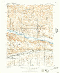
1897 · Ogallala
USGS Topo · 1:125,000
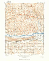
1898 · Paxton
USGS Topo · 1:125,000
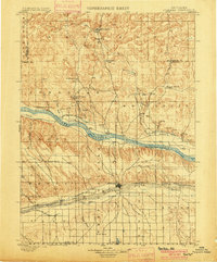
1900 · Ogallala
USGS Topo · 1:125,000
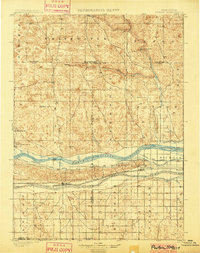
1901 · Paxton
USGS Topo · 1:125,000

1954 · McCook
USGS Topo · 1:250,000

1954 · North Platte
USGS Topo · 1:250,000

1956 · North Platte
USGS Topo · 1:250,000

1957 · North Platte
USGS Topo · 1:250,000

1957 · McCook
USGS Topo · 1:250,000

1958 · McCook
USGS Topo · 1:250,000