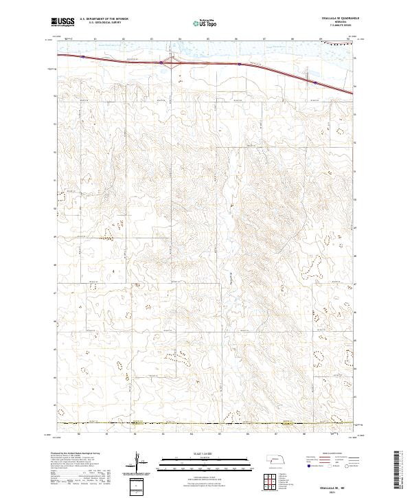
2021 Map of Ogallala SE
USGS Topo · Published 2021About this map
South Platte River waters flow across the northern edge of this Nebraska landscape, where the wide valley bottom quickly gives way to the intricate dissection of the High Plains. The terrain is defined by the deep indentation of Roscoe Draw, which cuts southward through the upland sections of t13n r37w and t12n r37w. This territory is primarily organized by a rigid grid of rural roads, including Rd East 10 and Rd East 80, which serve the expansive agricultural and grazing lands of the region. Modern transportation dominates the northern corridor, where Interstate 80 and the parallel Roscoe Svc Rd follow the natural path carved by the river valley. The map also records the jurisdictional boundary where Keith Co meets Perkins Co at its southern limit, marking a transition in local governance within this section of the Great Plains.
Find a feature on this map
23 named features on this map. Tap any name to fly to it.
Don’t see what you’re looking for? This feature index may not catch every label — zoom into the map to look around manually.
Map Details
Editions of this 2021 Ogallala SE Map
This is the sole edition of this map. No revisions or reprints were ever made.
Other maps of this area

1897 · Ogallala
USGS Topo · 1:125,000

1898 · Paxton
USGS Topo · 1:125,000

1900 · Ogallala
USGS Topo · 1:125,000

1901 · Paxton
USGS Topo · 1:125,000

1954 · McCook
USGS Topo · 1:250,000

1954 · North Platte
USGS Topo · 1:250,000

1956 · North Platte
USGS Topo · 1:250,000

1957 · North Platte
USGS Topo · 1:250,000

1957 · McCook
USGS Topo · 1:250,000

1958 · McCook
USGS Topo · 1:250,000