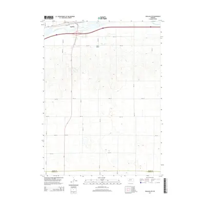
2014 Map of Ogallala SW
USGS Topo · Published 2014About this map
Ogallala borders the northern edge of this landscape, situated along the banks of the South Platte River. The area is characterized by a transition from the river valley into the high plains of western Nebraska, where the terrain breaks into the distinct Happy Hollow. A rigorous grid of rural roads, including Pioneer Trl and Tressler Rd, organizes the agricultural uplands south of the river. The southern portion of the sheet marks the transition between Keith Co and Perkins Co, illustrating the intersection of county governance and the expansive section-line road network. This survey captures the infrastructure supporting the local economy, from the residential clusters along Riverdale Dr S to the vital transportation corridor of Us-30 near the riverfront.
Find a feature on this map
29 named features on this map. Tap any name to fly to it.
Don’t see what you’re looking for? This feature index may not catch every label — zoom into the map to look around manually.
Map Details
Editions of this 2014 Ogallala SW Map
This is the sole edition of this map. No revisions or reprints were ever made.
Other maps of this area
1897 · Ogallala
USGS Topo · 1:125,000
1900 · Ogallala
USGS Topo · 1:125,000
1954 · McCook
USGS Topo · 1:250,000
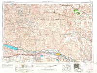
1954 · North Platte
USGS Topo · 1:250,000
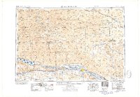
1956 · North Platte
USGS Topo · 1:250,000
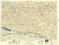
1957 · North Platte
USGS Topo · 1:250,000
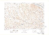
1957 · McCook
USGS Topo · 1:250,000
1958 · McCook
USGS Topo · 1:250,000
1961 · Brandon NE
USGS Topo · 1:24,000
1961 · Brule SE
USGS Topo · 1:24,000