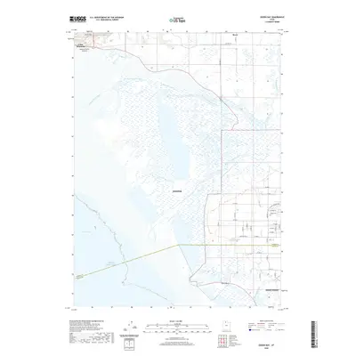
2020 Map of Ogden Bay
USGS Topo · Published 2020About this map
Hooper and West Point occupy the transitional landscape where the irrigated farmlands of the eastern shore meet the saline wetlands of the Great Salt Lake. This 2020 map documents the intricate hydrology of the Weber River delta, including the North Fork Weber River and South Fork Weber River, which feed into the extensive marshes of Ogden Bay. The presence of Hooper Hot Springs and Hales Bend along the Howard Slough reflects a landscape deeply shaped by natural drainage and geothermal activity. To the north, Little Mtn stands as a distinct landmark near the Southern Pacific Causeway, while the grid-based rural development around Reese shows the ongoing agricultural character of the region. Local heritage is grounded at the Hooper Cem and through recreational access provided by the Hooper Slough Trail.
Find a feature on this map
39 named features on this map. Tap any name to fly to it.
Don’t see what you’re looking for? This feature index may not catch every label — zoom into the map to look around manually.
Map Details
Editions of this 2020 Ogden Bay Map
This is the sole edition of this map. No revisions or reprints were ever made.
Other maps of this area

1954 · Antelope Island North
USGS Topo · 1:24,000

1954 · Brigham City
USGS Topo · 1:250,000

1955 · Plain City
USGS Topo · 1:24,000

1955 · Clearfield
USGS Topo · 1:24,000

1955 · Roy
USGS Topo · 1:24,000

1955 · Willard Spur
USGS Topo · 1:24,000

1955 · Plain City SW
USGS Topo · 1:24,000

1955 · Ogden Bay
USGS Topo · 1:24,000

1955 · Fremont Island
USGS Topo · 1:24,000

1958 · Brigham City
USGS Topo · 1:250,000