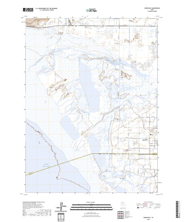
2023 Map of Ogden Bay
USGS Topo · Published 2023About this map
The vast wetlands where the Weber River delta meets the Great Salt Lake define this coastal landscape. This survey illustrates the complex hydrology of the eastern shore, where the North Fork Weber River and South Fork Weber River branch through marshy reaches. These natural systems are complemented by drainage and recreation features such as the Hooper Slough and the accompanying Hooper Slough Trl.
Find a feature on this map
38 named features on this map. Tap any name to fly to it.
Don’t see what you’re looking for? This feature index may not catch every label — zoom into the map to look around manually.
Map Details
Editions of this 2023 Ogden Bay Map
This is the sole edition of this map. No revisions or reprints were ever made.
Other maps of this area

1954 · Antelope Island North
USGS Topo · 1:24,000

1954 · Brigham City
USGS Topo · 1:250,000

1955 · Plain City
USGS Topo · 1:24,000

1955 · Clearfield
USGS Topo · 1:24,000

1955 · Roy
USGS Topo · 1:24,000

1955 · Willard Spur
USGS Topo · 1:24,000

1955 · Plain City SW
USGS Topo · 1:24,000

1955 · Ogden Bay
USGS Topo · 1:24,000

1955 · Fremont Island
USGS Topo · 1:24,000

1958 · Brigham City
USGS Topo · 1:250,000