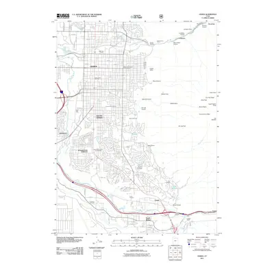
2011 Map of Ogden
USGS Topo · Published 2011About this map
Ogden and its surrounding communities are positioned at the base of a dramatic mountain front where Ogden Canyon and Weber Canyon meet the valley floor. This 2011 survey reveals an established suburban corridor characterized by a significant number of memorial sites and burial grounds, including the large Ogden City Cemetery and Aultorest Memorial Park, alongside regional landmarks like the Stewart Bell Tower. The eastern edge of the map is defined by the steep ascent toward peaks like Mount Ogden and Strongs Peak, where deep drainages like Waterfall Canyon and Beus Canyon transition from wilderness into residential neighborhoods.
Find a feature on this map
119 named features on this map. Tap any name to fly to it.
Don’t see what you’re looking for? This feature index may not catch every label — zoom into the map to look around manually.
Map Details
Editions of this 2011 Ogden Map
This is the sole edition of this map. No revisions or reprints were ever made.
Other maps of this area

1954 · Ogden
USGS Topo · 1:250,000

1954 · Brigham City
USGS Topo · 1:250,000

1955 · Ogden
USGS Topo · 1:24,000

1955 · Plain City
USGS Topo · 1:24,000

1955 · Clearfield
USGS Topo · 1:24,000

1955 · Roy
USGS Topo · 1:24,000

1955 · Peterson
USGS Topo · 1:24,000

1955 · Huntsville
USGS Topo · 1:24,000

1955 · North Ogden
USGS Topo · 1:24,000

1955 · Kaysville
USGS Topo · 1:24,000