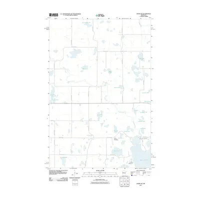
2011 Map of Ogema NE
USGS Topo · Published 2011About this map
The White Earth River meanders across this glaciated landscape in Becker County, connecting a dense network of kettle lakes and wetlands in the early 21st century. This hydrographic system is anchored by the White Earth Lake Dam at the northern edge of White Earth Lake, a central feature for both natural drainage and local recreation. The map illustrates a region where water and transport are closely linked, with rural routes like County Hwy-113 and County Hwy-3 providing access to seasonal destinations such as the Ox-Bow Resort and Campground and the Port of Cedar Crest Campground. Small, uniquely named bodies of water such as Burns Eighty Lake, Blocknic Lake, and Sedivy Lake are scattered throughout, reflecting a landscape shaped by glacial retreat and utilized for timber, fishing, and quiet northern Minnesota living.
Find a feature on this map
43 named features on this map. Tap any name to fly to it.
Don’t see what you’re looking for? This feature index may not catch every label — zoom into the map to look around manually.
Map Details
Editions of this 2011 Ogema NE Map
This is the sole edition of this map. No revisions or reprints were ever made.
Other maps of this area

1954 · Bemidji
USGS Topo · 1:250,000

1957 · Bemidji
USGS Topo · 1:250,000

1958 · Bemidji
USGS Topo · 1:250,000

1969 · North Twin Lake
USGS Topo · 1:24,000
1969 · Waubun
USGS Topo · 1:24,000
1969 · Ogema
USGS Topo · 1:24,000
1969 · Ogema NE
USGS Topo · 1:24,000
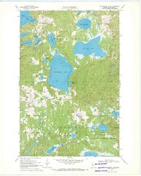
1969 · Strawberry Lake
USGS Topo · 1:24,000

1969 · Snider Lake
USGS Topo · 1:24,000
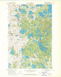
1969 · White Earth
USGS Topo · 1:24,000