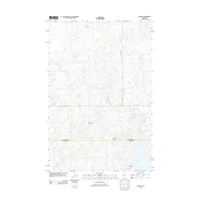
2013 Map of Ogema NE
USGS Topo · Published 2013About this map
The Mahnomen Co Becker Co boundary divides this lake-dotted landscape, where the White Earth River meanders through glacial terrain toward a network of diverse water bodies. The presence of Lake Grove Cem and localized resort developments like the Ox-Bow Resort and Campground and Port of Cedar Crest Campground reflect a region defined by seasonal recreation and local family heritage. The landscape is dominated by numerous named lakes, from the large expanse of White Earth Lake in the south to smaller basins such as Burns Eighty Lake, Kersting Lake, and Paggen Lake in the north. This distribution of water across the terrain suggests a legacy of glacial activity that has shaped the area's modern land use, centered on the lakeshore and the primary east-west corridor of MN-113.
Find a feature on this map
29 named features on this map. Tap any name to fly to it.
Don’t see what you’re looking for? This feature index may not catch every label — zoom into the map to look around manually.
Map Details
Editions of this 2013 Ogema NE Map
This is the sole edition of this map. No revisions or reprints were ever made.
Other maps of this area

1954 · Bemidji
USGS Topo · 1:250,000

1957 · Bemidji
USGS Topo · 1:250,000

1958 · Bemidji
USGS Topo · 1:250,000
1969 · North Twin Lake
USGS Topo · 1:24,000
1969 · Waubun
USGS Topo · 1:24,000
1969 · Ogema
USGS Topo · 1:24,000
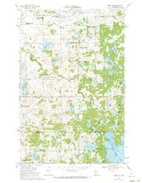
1969 · Ogema NE
USGS Topo · 1:24,000
1969 · Strawberry Lake
USGS Topo · 1:24,000
1969 · Snider Lake
USGS Topo · 1:24,000
1969 · White Earth
USGS Topo · 1:24,000