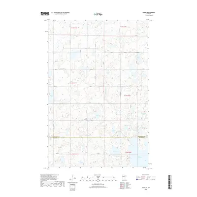
2019 Map of Ogema NE
USGS Topo · Published 2019About this map
Glacial topography and a dense network of freshwater lakes define this portion of the border between Mahnomen and Becker Counties. The White Earth River meanders through the central terrain, connecting a landscape saturated with small water bodies including Quallen Lake, Paggen Lake, and Nemec Lake. This 2019 survey shows a modern rural infrastructure of county roads and section-line streets, such as Co Rd 28 and Co St Aid Hwy 3, which provide access to these isolated waters. Cultural landmarks are sparse, making the Lake Grove Cem on 330th St a significant point of interest for those researching local family history. Large bodies like White Earth Lake and Squareboat Lake appear at the edges of the quadrangle, indicating a region heavily defined by its hydrography and seasonal wetlands.
Find a feature on this map
39 named features on this map. Tap any name to fly to it.
Don’t see what you’re looking for? This feature index may not catch every label — zoom into the map to look around manually.
Map Details
Editions of this 2019 Ogema NE Map
This is the sole edition of this map. No revisions or reprints were ever made.
Other maps of this area

1954 · Bemidji
USGS Topo · 1:250,000

1957 · Bemidji
USGS Topo · 1:250,000

1958 · Bemidji
USGS Topo · 1:250,000
1969 · North Twin Lake
USGS Topo · 1:24,000
1969 · Waubun
USGS Topo · 1:24,000
1969 · Ogema
USGS Topo · 1:24,000
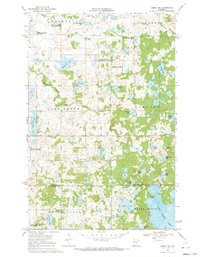
1969 · Ogema NE
USGS Topo · 1:24,000
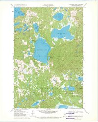
1969 · Strawberry Lake
USGS Topo · 1:24,000
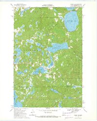
1969 · Snider Lake
USGS Topo · 1:24,000
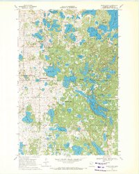
1969 · White Earth
USGS Topo · 1:24,000