
1959 Map of Ogishkemuncie Lake
USGS Topo · Published 1962About this map
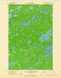
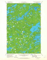
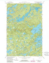
Ogishkemuncie Lake and the complex waterway of Knife Lake dominate this 1959 survey of the Minnesota wilderness. Situated within the Superior National Forest and Minnesota State Forest, the landscape is a dense network of glacial basins and portage routes. Notable water bodies such as Kekekabic Lake, Jasper Lake, and the South Arm are documented with depth curves provided by the Minnesota Department of Conservation, offering rare data on the underwater topography of these remote basins. The map illustrates the boundary between Lake and Cook counties as it cuts through the forest. Beyond the extensive water system, the map identifies numerous smaller features like Eddy Lake, Nave Lake, and Kekekabic Ponds, connected by a series of primitive Trails. The absence of developed roads emphasizes the character of this region as it was preserved mid-century, prior to later wilderness management changes.
Find a feature on this map
88 named features on this map. Tap any name to fly to it.
Don’t see what you’re looking for? This feature index may not catch every label — zoom into the map to look around manually.
Map Details
Editions of this 1959 Ogishkemuncie Lake Map
4 editions found
Other maps of this area

1954 · Two Harbors
USGS Topo · 1:250,000

1957 · Two Harbors
USGS Topo · 1:250,000

1957 · Quetico
USGS Topo · 1:250,000

1958 · Two Harbors
USGS Topo · 1:250,000

1959 · Munker Island
USGS Topo · 1:24,000

1959 · Kekekabic Lake
USGS Topo · 1:24,000

1959 · Dutton Lake
USGS Topo · 1:24,000

1959 · Gillis Lake
USGS Topo · 1:24,000

1959 · Ester Lake
USGS Topo · 1:24,000

1960 · Lake Polly
USGS Topo · 1:24,000