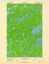
1959 Map of Ogishkemuncie Lake
USGS Topo · Published 1963About this map
Superior National Forest and the Minnesota State Forest define this landscape of interconnected waterways and wilderness on the border of Lake and Cook counties. Mapped at the end of the 1950s, the terrain is dominated by the massive Knife Lake and its South Arm to the north, while the interior is dotted with curiously named smaller basins. The density of lakes is exceptional, ranging from the larger Kekekabic Lake and Serpent Lake to small, secluded waters like Mugwump Lake, Tradition Lake, and Your Lake.
Find a feature on this map
90 named features on this map. Tap any name to fly to it.
Don’t see what you’re looking for? This feature index may not catch every label — zoom into the map to look around manually.
Map Details
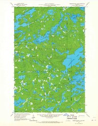
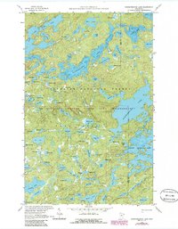
Editions of this 1959 Ogishkemuncie Lake Map
4 editions found
Other maps of this area

1954 · Two Harbors
USGS Topo · 1:250,000

1957 · Two Harbors
USGS Topo · 1:250,000

1957 · Quetico
USGS Topo · 1:250,000

1958 · Two Harbors
USGS Topo · 1:250,000

1959 · Munker Island
USGS Topo · 1:24,000

1959 · Ogishkemuncie Lake
USGS Topo · 1:24,000

1959 · Kekekabic Lake
USGS Topo · 1:24,000

1959 · Dutton Lake
USGS Topo · 1:24,000

1959 · Gillis Lake
USGS Topo · 1:24,000

1959 · Ester Lake
USGS Topo · 1:24,000