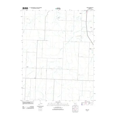
2011 Map of Ohio
USGS Topo · Published 2011About this map
The settlement of Ohio serves as the focal point of this rural St. Clair County landscape, situated at the intersection of a sprawling network of local county roads. The area is defined by a dense system of tributary streams, including the meandering Cooper Creek and Little Monegau Creek, which carve through the farmland. For family historians, the presence of several established burial grounds—Deepwater Cemetery, Dunning Cemetery, Valley Center Cemetery, and Westfield Cemetery—provides a tangible connection to the region's ancestral residents.
Find a feature on this map
40 named features on this map. Tap any name to fly to it.
Don’t see what you’re looking for? This feature index may not catch every label — zoom into the map to look around manually.
Map Details
Editions of this 2011 Ohio Map
This is the sole edition of this map. No revisions or reprints were ever made.
Other maps of this area

1887 · Clinton
USGS Topo · 1:125,000

1894 · Clinton
USGS Topo · 1:125,000

1938 · Monegaw Springs
USGS Topo · 1:24,000

1938 · Taberville
USGS Topo · 1:24,000

1939 · Osceola
USGS Topo · 1:24,000

1940 · Taberville
USGS Topo · 1:24,000

1940 · Osceola
USGS Topo · 1:24,000
1940 · Monegaw Springs
USGS Topo · 1:24,000

1941 · Lowry City
USGS Topo · 1:24,000

1945 · Lowry City
USGS Topo · 1:24,000