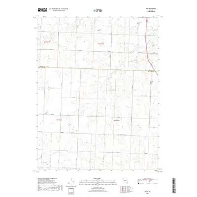
2017 Map of Ohio
USGS Topo · Published 2017About this map
Ohio sits at a rural crossroads in St. Clair County, marking a landscape where the prairie-like terrain of western Missouri begins to drop toward the Osage River basin. The map illustrates a highly organized grid of rural roads, such as NW 1000 and SW 1100 RD, that navigate a network of drainage creeks including Cooper Cr and Big Otter Cr. These waterways are the primary geographic features of the region, ultimately feeding into the Harry S Truman Reservoir visible in the northeast corner.
Find a feature on this map
54 named features on this map. Tap any name to fly to it.
Don’t see what you’re looking for? This feature index may not catch every label — zoom into the map to look around manually.
Map Details
Editions of this 2017 Ohio Map
This is the sole edition of this map. No revisions or reprints were ever made.
Other maps of this area
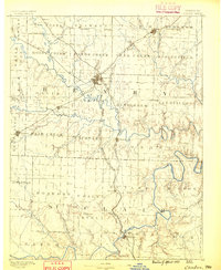
1887 · Clinton
USGS Topo · 1:125,000
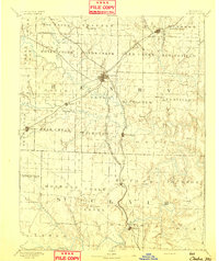
1894 · Clinton
USGS Topo · 1:125,000
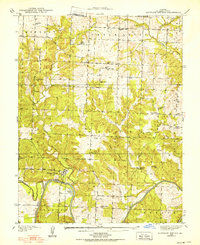
1938 · Monegaw Springs
USGS Topo · 1:24,000
1938 · Taberville
USGS Topo · 1:24,000
1939 · Osceola
USGS Topo · 1:24,000
1940 · Taberville
USGS Topo · 1:24,000
1940 · Osceola
USGS Topo · 1:24,000
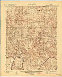
1940 · Monegaw Springs
USGS Topo · 1:24,000
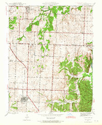
1941 · Lowry City
USGS Topo · 1:24,000
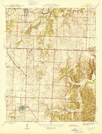
1945 · Lowry City
USGS Topo · 1:24,000