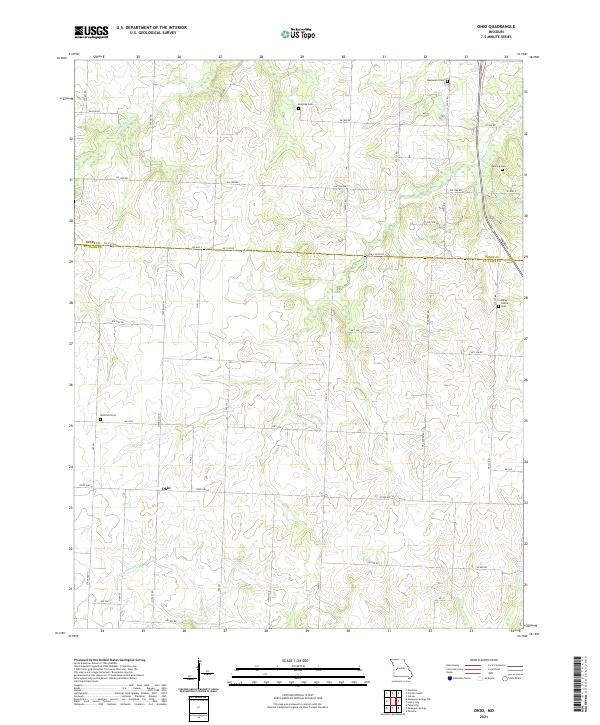
2021 Map of Ohio
USGS Topo · Published 2021About this map
Ohio sits at a crossroads of state highways in a landscape defined by the drainage network of the Osage River basin. The terrain is marked by the winding courses of Cooper Creek, Little Monega Cr, and Spill Cr, which carve through the countryside at the boundary of Henry and St. Clair counties. This rural Missouri environment is tied together by an extensive network of county roads like SW 1000 Rd and NE Center Rd, facilitating access to the scattered family farms that have historically populated this region.
Find a feature on this map
48 named features on this map. Tap any name to fly to it.
Don’t see what you’re looking for? This feature index may not catch every label — zoom into the map to look around manually.
Map Details
Editions of this 2021 Ohio Map
This is the sole edition of this map. No revisions or reprints were ever made.
Other maps of this area

1887 · Clinton
USGS Topo · 1:125,000

1894 · Clinton
USGS Topo · 1:125,000

1938 · Monegaw Springs
USGS Topo · 1:24,000

1938 · Taberville
USGS Topo · 1:24,000

1939 · Osceola
USGS Topo · 1:24,000

1940 · Taberville
USGS Topo · 1:24,000

1940 · Osceola
USGS Topo · 1:24,000
1940 · Monegaw Springs
USGS Topo · 1:24,000

1941 · Lowry City
USGS Topo · 1:24,000

1945 · Lowry City
USGS Topo · 1:24,000