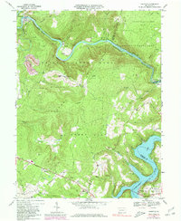
1967 Map of Ohiopyle
USGS Topo · Published 1980About this map
The Youghiogheny River carves a dramatic deep gorge through the heart of Ohiopyle State Park on this 1960s topographic sheet. The town of Ohiopyle serves as a focal point for the region, where the Baltimore and Ohio and Western Maryland railroads run parallel to the river's winding course. This era shows the landscape before the full maturation of modern recreation, with active resource extraction evident at a Strip Mine and various Gas Wells scattered across the high ridges like Sugarloaf Knob. To the south, the massive Youghiogheny Lake dominates the border between Fayette and Somerset counties. Historic transportation routes are well-defined, including the National Road crossing Woodcock Hill, while local life is anchored by rural institutions like Sugarloaf Chapel, Johnson Chapel, and the Marclay Sch.
Find a feature on this map
57 named features on this map. Tap any name to fly to it.
Don’t see what you’re looking for? This feature index may not catch every label — zoom into the map to look around manually.
Map Details
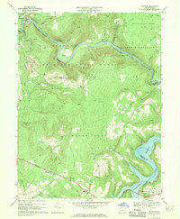
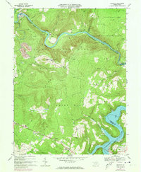
Editions of this 1967 Ohiopyle Map
3 editions found
Other maps of this area

1900 · Accident
USGS Topo · 1:62,500

1900 · Uniontown
USGS Topo · 1:62,500

1904 · Bruceton
USGS Topo · 1:62,500

1922 · Confluence
USGS Topo · 1:62,500

1926 · Bruceton
USGS Topo · 1:62,500

1931 · Uniontown
USGS Topo · 1:62,500

1931 · Confluence
USGS Topo · 1:62,500

1931 · Bruceton Mills
USGS Topo · 1:62,500

1933 · Confluence
USGS Topo · 1:62,500

1933 · Bruceton
USGS Topo · 1:62,500
Featured Places
- Ohiopyle, PA
- Addison Township, PA
- Lower Turkeyfoot Township, PA
- Wharton Township, PA
- Stewart Township, PA