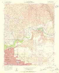
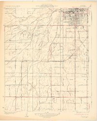
1954 Map of Oil Center
USGS Topo · Published 1956About this map
The Kern River Oil Field dominates this mid-century landscape, where a dense network of oil tanks and pipelines stretches across the arid bluffs north of Bakersfield. This industrial concentration is mirrored by the development of specialized company settlements like Oil Center and Oil City, which grew to support the extraction economy along the Kern River. Infrastructure is critical here, evidenced by the Southern Pacific railroad lines reaching into the fields at Volcan and Treadwell.
Find a feature on this map
44 named features on this map. Tap any name to fly to it.
Don’t see what you’re looking for? This feature index may not catch every label — zoom into the map to look around manually.
Map Details
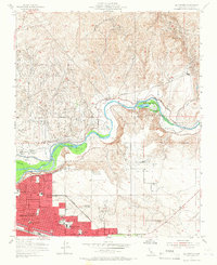
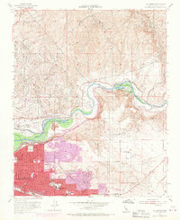
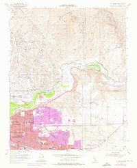
Editions of this 1954 Oil Center Map
4 editions found
Other maps of this area

1906 · Bakersfield
USGS Topo · 1:62,500

1910 · Buena Vista Lake
USGS Topo · 1:125,000

1912 · Buena Vista Lake
USGS Topo · 1:125,000

1914 · Caliente
USGS Topo · 1:125,000

1929 · Fairfax School
USGS Topo · 1:31,680

1930 · Oildale
USGS Topo · 1:31,680

1931 · Edison
USGS Topo · 1:31,680

1932 · North of Oildale
USGS Topo · 1:31,680

1932 · Fairfax School
USGS Topo · 1:31,680
1932 · Gosford
USGS Topo · 1:31,680