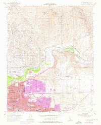
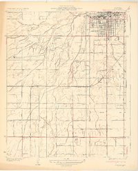
1954 Map of Oil Center
USGS Topo · Published 1976About this map
Kern River petroleum production and the expanding urban footprint of north Bakersfield dominate this mid-century survey. The landscape is a dense network of industrial activity, characterized by the Kern River Oil Field and Kern Bluff Oil Field, where numerous oil tanks and sumps neighbor the Southern Pacific and Sunset Railway lines. Beyond the industrial zones, the map documents the growth of local institutions such as Bakersfield College and Garces High Sch. Recreational and natural landmarks provide a counterpoint to the oil industry, including the Hart Memorial Unit and the fossil-rich slopes of Sharktooth Hill. The inclusion of purple-tinted revisions from the early 1970s illustrates the rapid residential development pushing north toward the China Grade Loop and the historic settlement of Oil Center.
Find a feature on this map
38 named features on this map. Tap any name to fly to it.
Don’t see what you’re looking for? This feature index may not catch every label — zoom into the map to look around manually.
Map Details
Editions of this 1954 Oil Center Map
4 editions found
Other maps of this area

1906 · Bakersfield
USGS Topo · 1:62,500

1910 · Buena Vista Lake
USGS Topo · 1:125,000

1912 · Buena Vista Lake
USGS Topo · 1:125,000

1914 · Caliente
USGS Topo · 1:125,000

1929 · Fairfax School
USGS Topo · 1:31,680

1930 · Oildale
USGS Topo · 1:31,680

1931 · Edison
USGS Topo · 1:31,680

1932 · North of Oildale
USGS Topo · 1:31,680

1932 · Fairfax School
USGS Topo · 1:31,680
1932 · Gosford
USGS Topo · 1:31,680