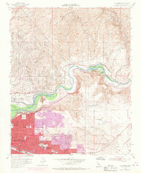
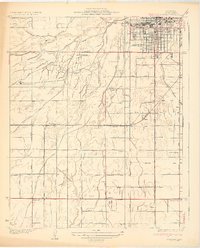
1954 Map of Oil Center
USGS Topo · Published 1970About this map
Kern River Oil Field dominates the landscape of this 1954 survey, which covers the northern reaches of Bakersfield and its industrial outskirts during a period of significant mid-century expansion. The map details the dense network of tanks and pipelines serving oil industry hubs like Oil Center, Oil City, and Maltha. Along the winding Kern River, the transition from industrial extraction to civic recreation is evident at the Hart Memorial Unit and Kern River State Park.
Find a feature on this map
48 named features on this map. Tap any name to fly to it.
Don’t see what you’re looking for? This feature index may not catch every label — zoom into the map to look around manually.
Map Details
Editions of this 1954 Oil Center Map
4 editions found
Other maps of this area

1906 · Bakersfield
USGS Topo · 1:62,500

1910 · Buena Vista Lake
USGS Topo · 1:125,000

1912 · Buena Vista Lake
USGS Topo · 1:125,000

1914 · Caliente
USGS Topo · 1:125,000

1929 · Fairfax School
USGS Topo · 1:31,680

1930 · Oildale
USGS Topo · 1:31,680

1931 · Edison
USGS Topo · 1:31,680

1932 · North of Oildale
USGS Topo · 1:31,680

1932 · Fairfax School
USGS Topo · 1:31,680
1932 · Gosford
USGS Topo · 1:31,680