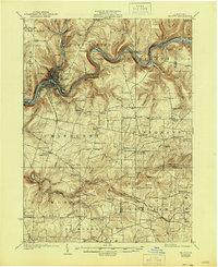
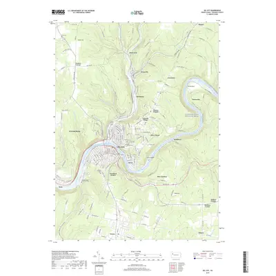
1924 Map of Oil City
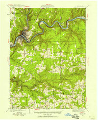
USGS Topo · Published 1944About this map
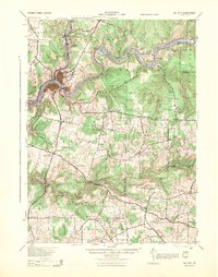
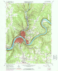
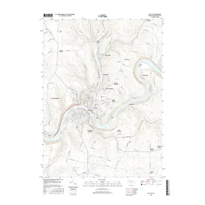
The Allegheny River carves a winding path through this Venango County landscape, serving as the industrial and geographic anchor for Oil City. In the 1920s, the region's character was defined by the intersection of early oil extraction and a dense network of rural communities. Settlements like Rouseville and Reno follow the river and rail lines, while the surrounding uplands are dotted with family-named corners and crossroads such as McPhersons Corner and Sadlers Corner.
Find a feature on this map
110 named features on this map. Tap any name to fly to it.
Don’t see what you’re looking for? This feature index may not catch every label — zoom into the map to look around manually.
Map Details
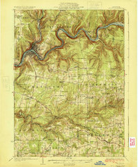
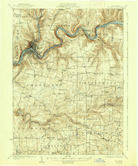
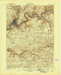
Editions of this 1924 Oil City Map
4 editions found
Historical Maps of Oil City Through Time
10 maps found
1922 Oil City
Venango County, PA
1924 Oil City
Venango County, PA
1943 Oil City
Venango County, PA
1963 Oil City
Venango County, PA

1983 Oil City
Venango County, PA

2010 Oil City
Venango County, PA

2013 Oil City
Venango County, PA
2016 Oil City
Venango County, PA
2019 Oil City
Venango County, PA
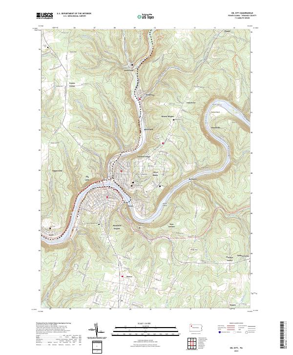
2023 Oil City
Venango County, PA