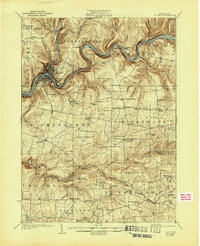
1924 Map of Oil City
USGS Topo · Published 1944About this map
Oil City sits at the confluence of Oil Creek and the Allegheny River, serving as the industrial anchor for a landscape defined by the Pennsylvania oil boom. Surveyed in the early 1920s, the map reveals an intricate network of infrastructure supporting the petroleum and rail sectors, including the Pennsylvania railroad lines and several named leases like Clapp Lease. Beyond the urban core, the rural townships of Cranberry and Cornplanter are dotted with one-room schoolhouses such as Rogers School and Rose School, alongside small post office settlements like Salina (Cranberry PO).
Find a feature on this map
114 named features on this map. Tap any name to fly to it.
Don’t see what you’re looking for? This feature index may not catch every label — zoom into the map to look around manually.
Map Details
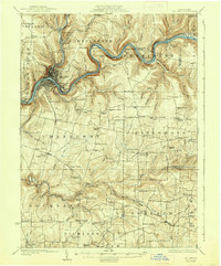
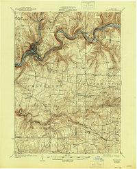
Editions of this 1924 Oil City Map
4 editions found

Other maps of this area

1906 · Clarion
USGS Topo · 1:62,500

1907 · Clarion
USGS Topo · 1:62,500

1907 · Foxburg
USGS Topo · 1:62,500

1908 · Foxburg
USGS Topo · 1:62,500

1909 · Franklin
USGS Topo · 1:62,500

1910 · Hilliards
USGS Topo · 1:62,500

1911 · Franklin
USGS Topo · 1:62,500

1912 · Hilliards
USGS Topo · 1:62,500

1922 · Oil City
USGS Topo · 1:48,000

1922 · Tionesta
USGS Topo · 1:62,500