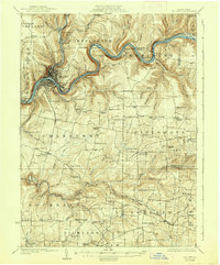
1924 Map of Oil City
USGS Topo · Published 1938About this map
Oil City serves as the industrial and logistical anchor of this region, situated at the sharp bend where the Allegheny River meets Cherry Creek. The landscape of the 1920s is defined by the legacy of the Pennsylvania oil boom, visible in the dense network of small settlements and worker-centric infrastructure like Rynd Farm, Rouseville, and the Clapp Lease. Transportation is dominated by the Pennsylvania RR and the Electric RR, which connected these valley communities during a period of intense extraction and refining.
Find a feature on this map
121 named features on this map. Tap any name to fly to it.
Don’t see what you’re looking for? This feature index may not catch every label — zoom into the map to look around manually.
Map Details
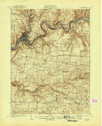
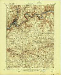
Editions of this 1924 Oil City Map
4 editions found

Other maps of this area

1906 · Clarion
USGS Topo · 1:62,500

1907 · Clarion
USGS Topo · 1:62,500

1907 · Foxburg
USGS Topo · 1:62,500

1908 · Foxburg
USGS Topo · 1:62,500

1909 · Franklin
USGS Topo · 1:62,500

1910 · Hilliards
USGS Topo · 1:62,500

1911 · Franklin
USGS Topo · 1:62,500

1912 · Hilliards
USGS Topo · 1:62,500

1922 · Oil City
USGS Topo · 1:48,000

1922 · Tionesta
USGS Topo · 1:62,500