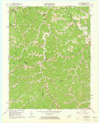
1962 Map of Oil Springs
USGS Topo · Published 1973About this map
The Oil Field and numerous Gas Wells define the industrial character of this corner of eastern Kentucky in the early 1960s. Situated at the junction of Little Paint Br and the State Road, the settlement of Oil Springs serves as a central hub for a landscape deeply etched by creek valleys and ridges. The map reveals a dense network of rural infrastructure, from the Manila PO and Mashfork PO post offices to the neighborhood schools that once anchored these hollows, including Little Mine Fork Sch, Tick Lick Sch, and Pigeon Sch. High ground is marked by prominent landforms like Cotton Knob and Stuffley Knob, the latter topped with a Lookout Tower. Family history is preserved in localized sites such as Tackett Cem and Jack Caudill Branch, illustrating how early 20th-century life in Johnson and Magoffin Counties revolved around small-scale agriculture and extractive resource labor.
Find a feature on this map
67 named features on this map. Tap any name to fly to it.
Don’t see what you’re looking for? This feature index may not catch every label — zoom into the map to look around manually.
Map Details
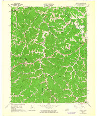
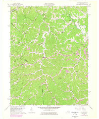
Editions of this 1962 Oil Springs Map
3 editions found
Other maps of this area

1886 · Prestonsburg
USGS Topo · 1:125,000

1889 · Salyersville
USGS Topo · 1:125,000

1891 · Salyersville
USGS Topo · 1:125,000

1892 · Prestonsburg
USGS Topo · 1:125,000

1899 · Salyersville
USGS Topo · 1:125,000

1915 · Paintsville
USGS Topo · 1:48,000

1915 · Prestonsburg
USGS Topo · 1:62,500

1917 · Paintsville
USGS Topo · 1:62,500

1918 · Prestonsburg
USGS Topo · 1:62,500
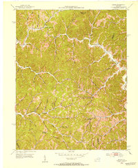
1951 · Dingus
USGS Topo · 1:24,000