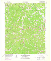
1962 Map of Oil Springs
USGS Topo · Published 1978About this map
Oil Springs sits at the heart of this landscape, where the rural topography of eastern Kentucky is defined by a dense network of branches and forks. The map reveals a community deeply tied to its natural resources, with an extensive Oil Field and several Gas Wells and Strip Mines scattered throughout the Johnson and Magoffin county lines. This era shows a high density of local educational and religious institutions, including Little Paint Sch, Low Gap Sch, and the Davis Branch Ch, serving families living along the winding hollows.
Find a feature on this map
69 named features on this map. Tap any name to fly to it.
Don’t see what you’re looking for? This feature index may not catch every label — zoom into the map to look around manually.
Map Details
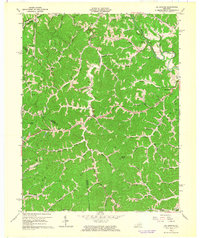
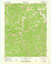
Editions of this 1962 Oil Springs Map
3 editions found
Other maps of this area

1886 · Prestonsburg
USGS Topo · 1:125,000

1889 · Salyersville
USGS Topo · 1:125,000

1891 · Salyersville
USGS Topo · 1:125,000

1892 · Prestonsburg
USGS Topo · 1:125,000

1899 · Salyersville
USGS Topo · 1:125,000

1915 · Paintsville
USGS Topo · 1:48,000

1915 · Prestonsburg
USGS Topo · 1:62,500

1917 · Paintsville
USGS Topo · 1:62,500

1918 · Prestonsburg
USGS Topo · 1:62,500
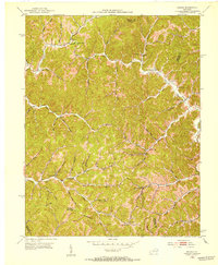
1951 · Dingus
USGS Topo · 1:24,000