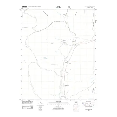
2011 Map of Ojo Caliente
USGS Topo · Published 2011About this map
Rio Ojo Caliente flows south through this high desert landscape, anchoring a corridor of traditional settlements including Gallegos, Duranes, and Gavilan. The area is notably dense with historical and cultural layers, containing both the Howiri Archaeological District and the Hupobi'uinge Archaeological District, which signal the deep indigenous heritage of the Rio Arriba region. Local governance and communication are represented by the Ojo Caliente Post Office and the Tapicitoes Post Office.
Find a feature on this map
45 named features on this map. Tap any name to fly to it.
Don’t see what you’re looking for? This feature index may not catch every label — zoom into the map to look around manually.
Map Details
Editions of this 2011 Ojo Caliente Map
This is the sole edition of this map. No revisions or reprints were ever made.
Other maps of this area

1918 · Abiquiu
USGS Topo · 1:125,000

1953 · Medanales
USGS Topo · 1:24,000

1953 · Valle Grande Peak
USGS Topo · 1:24,000

1953 · Lyden
USGS Topo · 1:24,000

1953 · Velarde
USGS Topo · 1:24,000

1953 · El Rito
USGS Topo · 1:24,000

1953 · La Madera
USGS Topo · 1:24,000

1953 · Ojo Caliente
USGS Topo · 1:24,000

1953 · San Juan Pueblo
USGS Topo · 1:62,500

1954 · Raton
USGS Topo · 1:250,000