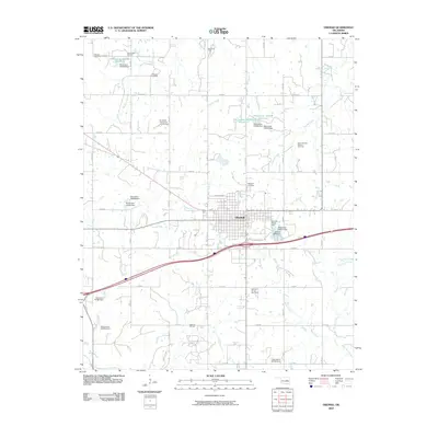
2009 Map of Okemah
USGS Topo · Published 2009About this map
Okemah serves as the focal point of this 2009 survey, revealing a landscape deeply influenced by petroleum extraction and water management. The surrounding terrain is densely patterned with energy production sites, including the Northwest Okemah Oil and Gas Field, Morse Oil Field, and the Midwest Oil and Gas Field. This industrial footprint is interspersed with numerous small-scale water projects, indicated by a series of numbered dams and reservoirs like Oknoname 107008 Reservoir.
Find a feature on this map
48 named features on this map. Tap any name to fly to it.
Don’t see what you’re looking for? This feature index may not catch every label — zoom into the map to look around manually.
Map Details
Editions of this 2009 Okemah Map
This is the sole edition of this map. No revisions or reprints were ever made.
Other maps of this area

1900 · Wewoka
USGS Topo · 1:125,000

1901 · Nuyaka
USGS Topo · 1:125,000

1954 · Oklahoma City
USGS Topo · 1:250,000

1957 · Oklahoma City
USGS Topo · 1:250,000

1963 · Oklahoma City
USGS Topo · 1:250,000

1967 · Cromwell
USGS Topo · 1:24,000

1967 · Okemah SE
USGS Topo · 1:24,000

1967 · Weleetka
USGS Topo · 1:24,000

1967 · Okemah
USGS Topo · 1:24,000

1967 · Boley
USGS Topo · 1:24,000